General information about our district.
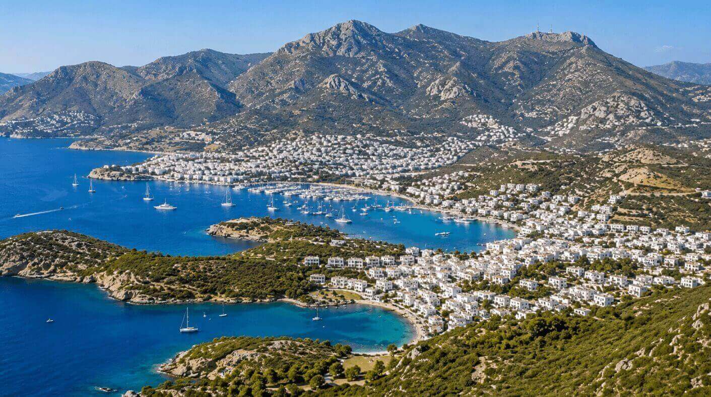
Bodrum is located in the western corner of the Muğla province. The vast majority of the district's land is situated on a peninsula bearing its own name; the district is surrounded by the Aegean Sea from the north, west, and south. It has no administrative border to its east, except for Milas. The total surface area of the Bodrum district is 557 km², and the coastal length of the district, including small islets, is 94 nautical miles (174 km). These highly indented coastlines have formed many bays, referred to as bights (bük) and harbors.
The Bodrum district has a total of 56 neighborhoods. After Muğla province gained metropolitan status in 2014, all villages transitioned to neighborhood status.
Stretching in a northeast-southwest direction, the highest point is the Kabalak Mountains with an elevation of 788 meters, located in the eastern part of the district north of Mazı and Gökbel villages. In the west - on the Bodrum peninsula, it is the Oyuklu Mountain falling north of the Konacık neighborhood with an elevation of 689 meters.

There are no large rivers or regular streams that flow continuously throughout the year in the Bodrum district.
The river network in the district consists entirely of streams with temporary and seasonal flows. While these streams come alive with rainfall in the winter and spring months, they completely dry up due to the drought in the summer months.
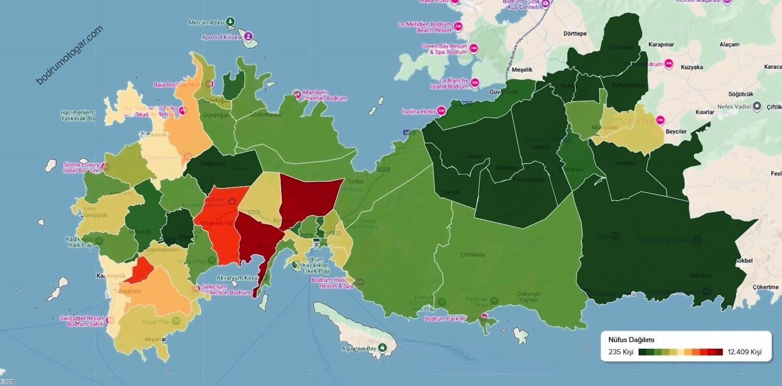
Official Population: 203,035 People
Estimated Winter Population: 450,000 People
Summer Population: 1,000,000+ (2.5-3 Million during Eid holidays)
Population Density: 302.50 People/km²
Number of Residences: 151,105
Number of Workplaces: 35,055
Number of Summer Houses: 14,358

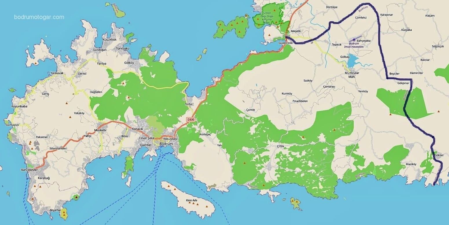
You can see which institution is responsible for the highways of the Bodrum district, drawn in different colors on the map above, more easily by enlarging the map.